Map 1797 / Map 1600-1896
/ Ordance Map
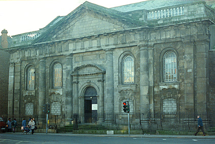
Photographs: St. Catherine's Church / Photographs:
Grand Canal Places
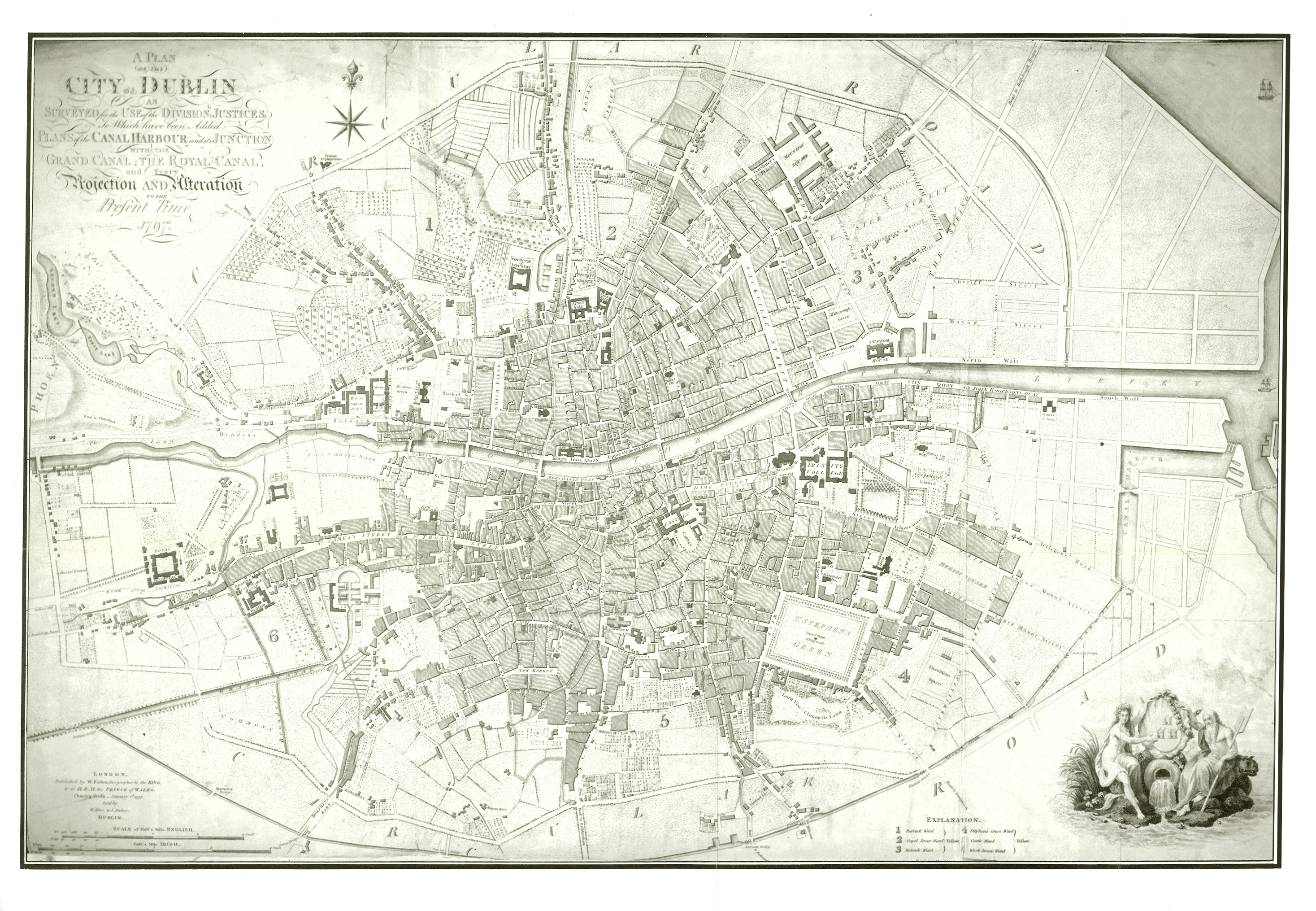
Map of Georgian Dublin, 1797
From Jame's Malton's A Picturesque & Descriptive View of the City of Dublin
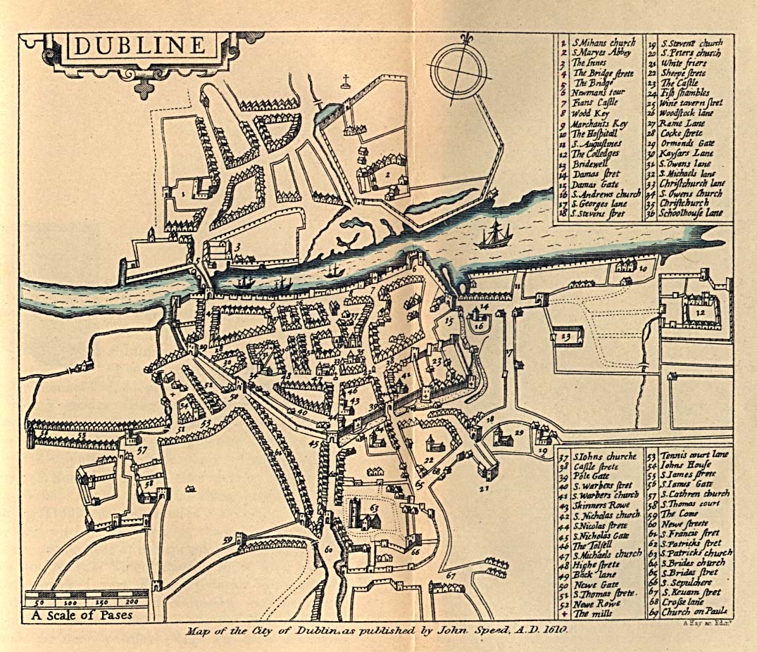
Map of Dublin from 1600-1896
From Dublin Som Norsk by L.J. Vogt, H. Aschehoug and Co. 1896
<http://www.lib.utexas.edu/maps/historical/dublin_1610_1896.jpg>
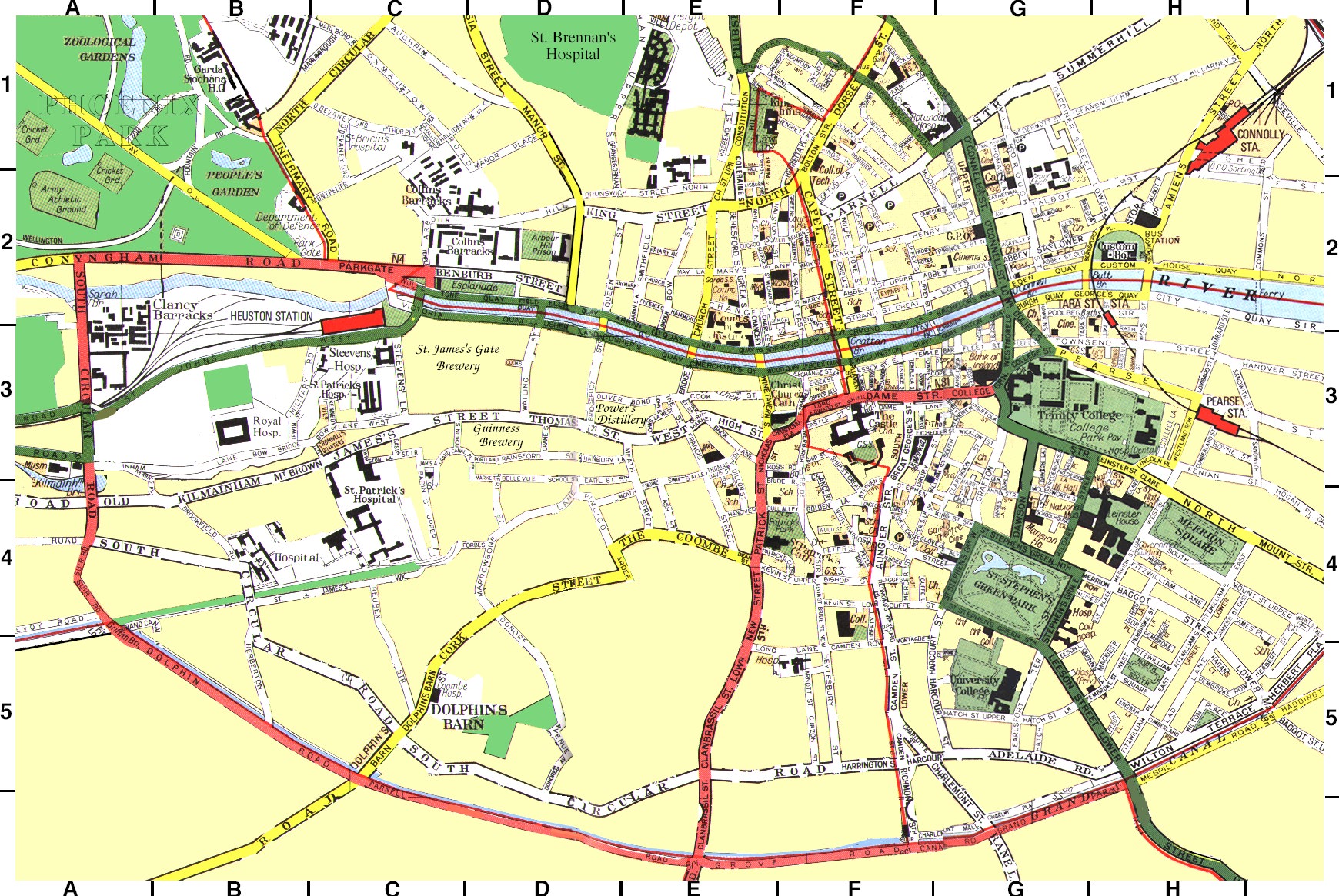
The Liberties of Dublin City, Ordnance Survey of
Ireland
Destination Ireland <http://www.foundmark.com/Ireland/Dublin/Dublin.jpg>
 |
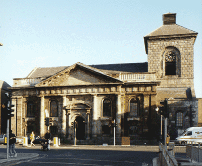 |
St. Catherine's Church, Thomas Street, Dublin
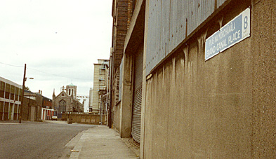 Grand Canal Place (Exterior) |
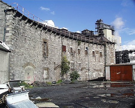 Grand Canal Place (Interior) |